- 408-924-7560
- mineta-institute@sjsu.edu
- Donate
Traffic Sign Extraction from Mobile LiDAR Point Cloud
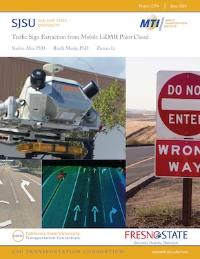
The extraction of traffic signs from Mobile Light Detection and Ranging (LiDAR) point cloud data has become a focal point in transportation research due to the increasing integration of LiDAR technologies. LiDAR, a remote sensing technology, captures detailed three-dimensional point cloud data, offering a comprehensive view of the surrounding environment. Mobile LiDAR systems mounted on vehicles enable efficient data collection, particularly for large-scale road networks. This study aims to develop and refine techniques for extracting traffic signs from Mobile LiDAR point cloud data, essential for enhancing road safety, navigation systems, and intelligent transportation solutions. By leveraging LiDAR technology, new possibilities for automating traffic sign recognition and mapping emerge. The research focuses on detecting traffic signs using Mobile LiDAR point cloud data, employing an intensity-based sign extraction method to identify traffic signs, traffic signals, and other retro-reflective objects. The workflow involves managing LiDAR Aerial Survey (LAS) datasets, including tasks such as merging/splitting, gridding, and detecting high-intensity features. Identified signs are visualized in Google Earth Pro, facilitating their display in Geographic Information Systems (GIS). Furthermore, the study explores point density analysis, establishing connections with potential grid resolutions for additional extraction or analysis, such as road condition assessments or crack detection.
YUSHIN AHN, PHD
Dr. Yushin Ahn is an associate professor in the Department of Civil and Geomatics Engineering, California State University at Fresno, CA. He received his B. Eng. degree in Civil Engineering and his M.Sc. degree in surveying and digital photogrammetry from Inha University, Korea, in 1998 and 2000, respectively, and his M.Sc. and Ph.D. degrees in Geodetic Science from Ohio State University, Columbus, in 2005 and 2008, respectively. His research interests include digital photogrammetry, feature tracking, and sensor calibration and integration. Dr. Ahn received the Robert E. Altenhofen Memorial Scholarship from the American Society for Photogrammetry and Remote Sensing. He has been a certified photogrammetrist since 2014.
RIADH MUNJY, PHD
Dr. Riadh Munjy got his B.S. in Civil Engineering in 1978 from the University of Baghdad, Iraq, an MSCE in Civil Engineering in 1979, an MS in Applied Mathematics in 1981, and a Ph.D. in Civil Engineering in 1982 from the University of Washington. He has been a faculty member and an active researcher at California University, Fresno since 1982 and has been a Professor of Civil and Geomatics Engineering since 1988 and the chair of the Civil and Geomatics Engineering Department since 2014. He has over forty years of experience in teaching courses in photogrammetry, digital mapping, GIS, and least squares adjustment. In 1997, he was awarded the Meritorious Service Award by ASPRS. He has also been awarded the Fairchild Photogrammetric Award (2014), the 2020 Fellow Award, and the 2023 Lifetime Achievement Award.
ZIYUAN LI
Ziyuan Li is a senior undergraduate pursuing a B.A. in Electrical Engineering at California State University, Fresno. He has two years of research experience in the power electronics field. He is also familiar with tools such as MATLAB and Simulink.
-
Contact Us
San José State University One Washington Square, San Jose, CA 95192 Phone: 408-924-7560 Email: mineta-institute@sjsu.edu


