- 408-924-7560
- mineta-institute@sjsu.edu
- Donate
Impervious Surfaces from High Resolution Aerial Imagery: Cities in Fresno County
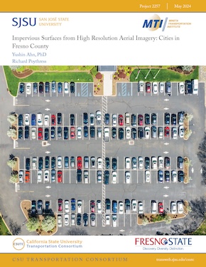
This study investigates impervious surfaces - areas covered by materials with restricted water permeability, such as pavement, sidewalks, and parking lots - due to their crucial role in influencing water dynamics within urban landscapes. The impermeability of these surfaces disrupts natural water absorption processes, resulting in adverse environmental consequences such as increased flooding, erosion, and water pollution. The research employs impervious surface analysis, a method involving the mapping and analysis of these surfaces within specified study areas, including cities, counties, and census tracts. Remote sensing techniques, specifically satellites and aerial imagery, are commonly utilized for the identification and classification of impervious surfaces. In the context of Fresno County, diverse classification methods, encompassing pixel-based, object-based, and deep learning approaches, are employed to classify and evaluate impervious surfaces. Significantly, the deep learning classification method exhibits exceptional performance, achieving an impressive overall accuracy ranging between 85-92%. The study reveals that the estimated percentage of impervious surfaces in Fresno County cities approximates 45%, comparable to the characteristics of medium density residential areas. Noteworthy is the observation in the Fresno/Clovis city area, where the percentage of impervious surfaces escalated from 53% in 2010 (per EnviroAtlas) to 63% in 2020. This 10% increase over a decade closely aligns with concurrent population growth trends in the region. In conclusion, this research underscores the critical significance of comprehending and monitoring impervious surfaces due to their pivotal role in shaping the environmental quality and resilience of urban areas. The insights gleaned from this study provide valuable guidance for the development of effective land use planning and management strategies, specifically tailored to mitigate the adverse impacts of impervious surfaces on the environment and human well-being.
YUSHIN AHN, PHD
Yushin Ahn is an Associate Professor in the Department of Civil and Geomatics Engineering at California State University, Fresno. He received a B. Eng. Degree in Civil Engineering and an M.Sc. in Surveying and Digital Photogrammetry from Inha University, Korea in 1998 and 2000 and an M.Sc. and Ph.D. in Geodetic Science from Ohio State University in 2005 and 2008, respectively. His research interests include digital photogrammetry, feature tracking, and sensor calibration and integration. Dr. Ahn received the Robert E. Altenhofen Memorial Scholarship from American Society of Photogrammetry and Remote Sensing. He has been a certified Photogrammetrist since 2014.
RICHARD POYTHRESS
Richard Poythress is a graduate student pursuing an M.S. in Civil Engineering at California State University, Fresno. He received a B.A. in Political Science from University of California, Santa Barbara, a B.S. in Petroleum and Natural Gas Engineering from New Mexico Institute of Mining and Technology, and an MBA from New Mexico State University.
-
Contact Us
San José State University One Washington Square, San Jose, CA 95192 Phone: 408-924-7560 Email: mineta-institute@sjsu.edu


